Course Description
Demand for professionals with careers focused on the environment, conservation and sustainability (green-jobs) continues to grow at ever increasing rates. All of these careers require a diversity of skills, however among the most important are skills focused on geomatics, mapping and spatial data analysis. Designing forest conservation zones, management for endangered species, sustainable forestry practices, urban green space corridors, and locating re-greening sites for carbon mitigation all require knowledge and skills in acquiring, analyzing, processing and displaying geo-spatial data.
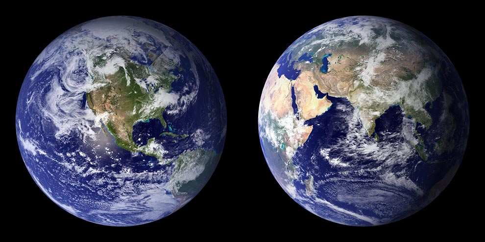
Geospatial information such as forest inventories, satellite, aircraft and Unmanned Aerial vehicle (UAV or drone) imagery, digital terrain models, plot-based field records, climate models, or road and stream networks are ubiquitous; yet specific skills to handle and process the information, and analytical approaches to translate these data into relevant applications for policy, science, or operations are needed. In particular remote sensing and Geographic Information Systems (GIS) software and algorithms allows analysis of spatial location data quickly and efficiently. Remote sensing provides highly detailed 2 and 3D data on terrestrial, atmospheric and oceanic conditions. Geo-positioning technologies, specifically Global Navigation Satellite Systems (GNSS) result in extremely accurate locational services. Advances in the miniaturization and capacity of hard and soft computing technologies provide storage and communication capacities. It is important that students develop informed skills in all of these areas.
Whether you have previous geomatics experience or not, this course is designed for students to introduce themselves to the core concepts of geomatics through analyzing spatial data using several different tools. We hope to inspire you with the capabilities of GPS, remote sensing and GIS so that you can start thinking about the next generation of spatial analysis and how it might be applied in the future.
Target Audience
Managers, and researchers interested in the application of state-of-the-art geospatial tools for forest monitoring and mapping.
Course Authors
Dr. Nicholas Coops, Faculty of Forestry, University of British Columbia, Canada
Learn more